Hollyburn Peak via Winter Access Trail
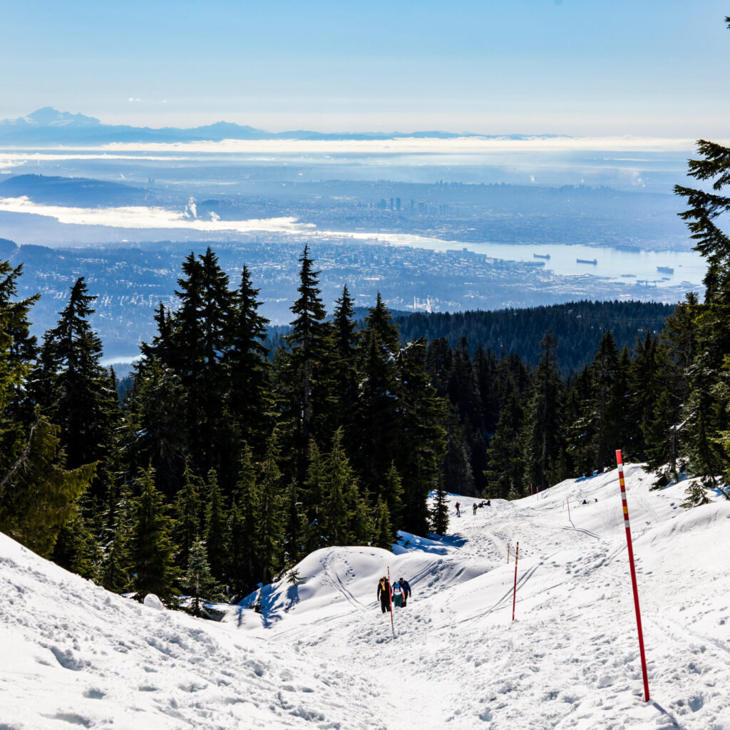
What I am describing below is the winter trail to the Hollyburn Peak which is in Cypress Provincial Park. Summer trail starts at a different place. Winter trail starts at Cypress cross country base (Nordic ski). Round trip is about 6.9 km and elevation gain is 415 m. The trail is easy to follow with both trail marker poles and hikers footsteps. Some parts of the trail is very slippery and steep, therefore microspikes are necessary. The trail has 3 distinctive sections. First section is the first kilo-meter of the trail. It is a little steep which makes your heart pump a little bit. The firs section is not that long and soon you come to the middle section which is relatively flat. The last section which is about 1 km before the peak, is steep. The last section is where you will probably need your microspikes, especially when you come down.
Once you conquer the last steep section, you come to the Hollyburn Peak. The peak is a flat and open area with minimum tall trees. Because of that, you have a very good 360 degree view of surrounding areas and mountains as far as the eyes can see. For the city view, you can see city of Vancouver from there. Standing on the peak, you can identify some of recognizable mountains, like Cathedral, The Lions and Brunswick.
Once you have enough time enjoying the view, you can walk back down on the same way you come up. There is supposedly a slightly different trail that connects the trail head and the peak other than the marked one. But because of less people walking on and no trail markers on that trail, it’s hard to find the other trail.
Plenty of parking in the main parking lot and also along the road. But if you want to park close to the trail head, you might want to come early.


